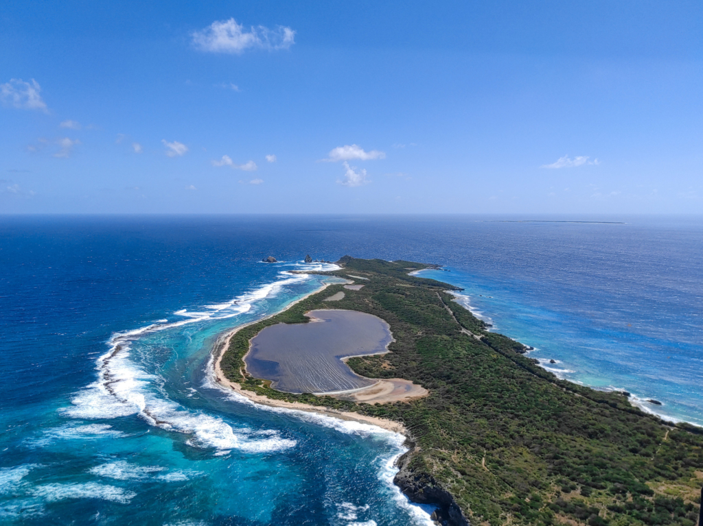
Measurement campaign on the coast of Grande Anse des Salines, Guadeloupe
An important monitoring campaign was conducted on the coastline of “Grande Anse des Salines “ in Guadeloupe in the framework of the European project CARIB-COAST on February 2021. This campaign aims to make this coast one of the project pilot site in order to quantify the protection offered by nature-based solutions to coastal erosion.
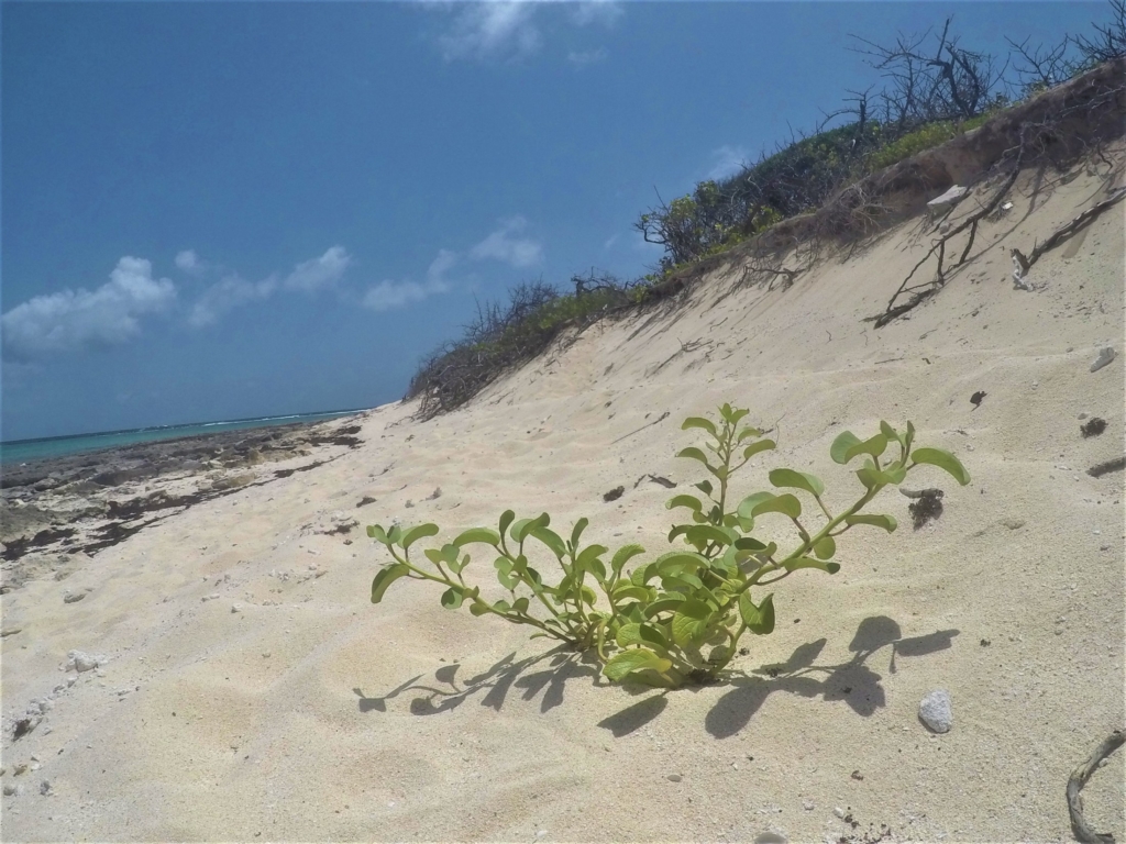
As a partner in the project, the ONF plans to restore the vegetation of the upper beach to enable it to better retain the sand. The classification of the site as a protected area also favors the preservation of coral reefs.
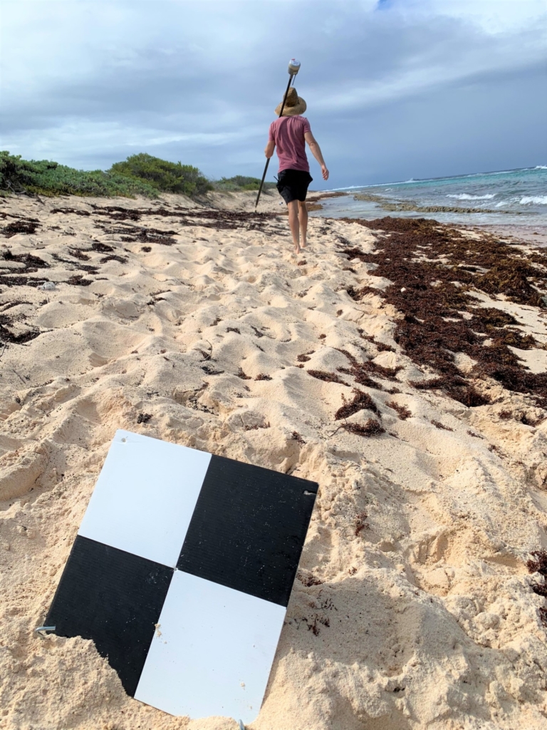
BRGM is in charge of quantifying the effects of this protection on the morpho-sedimentary dynamics of the site. Several measurements are set up to obtain quantifiable data:
- A bathymetric monitoring of the back reef nearshore by acoustic sounder and underwater photogrammetry that allows to determine the submarine relief and quantify sand transport in interaction with coral reefs.
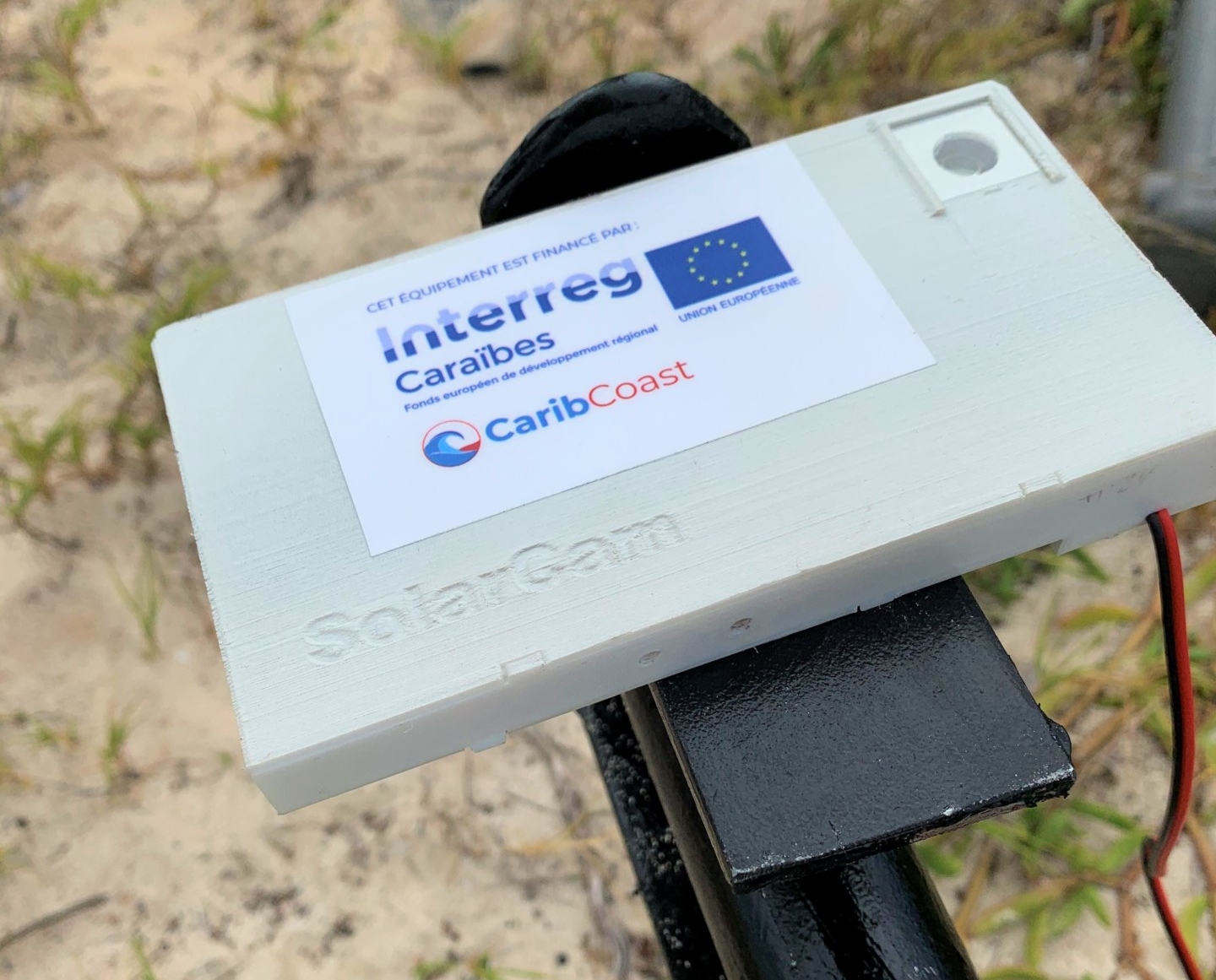
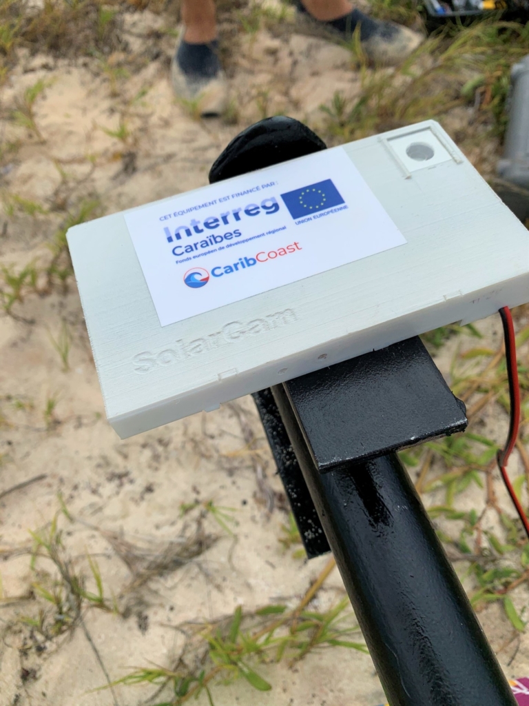
- A coastline monitoring by autonomous camera which allows to observe in real time the evolution and to appreciate the phenomenon of coastal erosion (retreat) and/or accretion (advance).
- A topographic monitoring by both terrestrial and aerial surveys (autogyro flight)
This work is part of the BRGM and University of the West Indies’ PhD, carried out by Thibault Laigre, supervised by Yann Balouin (CARIB-COAST’s project leader, BRGM) and Deborah Villarroel-Lamb (Lecturer in Coastal Engineering and Management, UWI). This work is part of WP3. The results will be used for the drafting of the good practice guide and feedback for the awareness webinars.
DCIM\100GOPRO\GOPR1564.JPG