The development of a Caribbean network
Development of a Caribbean network of coastal erosion observatories and promotion of mitigation techniques using natural ecosystems.
BRGM guadeloupe
Geological and Mining Research Bureau
ONF Guadeloupe
National Forestry Office

IMA
Institute of Marine Affairs de Trinidad et Tobago
UWI St Augustine
Trinidad and Tobago

MONA GIS Institute
Jamaica

IRD Martinique Caraïbe
Development Research Institute
CARICOOS
Puerto Rico
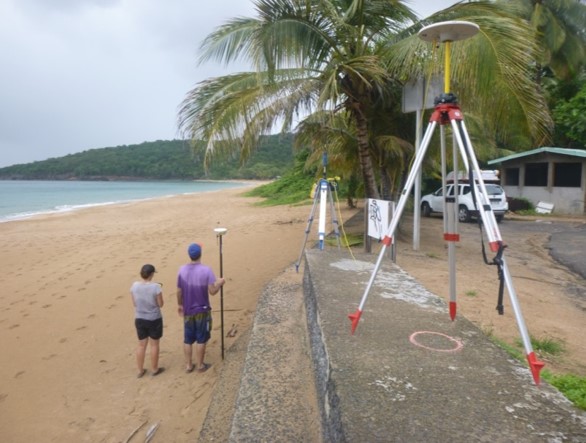
Inventory of erosion monitoring actions and networking
Developing observatories
This action aim to carry out an inventory of all erosion monitoring approaches in the Caribbean, share practices and define common protocols. It will also involve strengthening existing observatories and carrying out on-site experiments to evaluate the ecological services offered by natural environments in terms of protection against [...]
Read more
This action aim to carry out an inventory of all erosion monitoring approaches in the Caribbean, share practices and define common protocols. It will also involve strengthening existing observatories and carrying out on-site experiments to evaluate the ecological services offered by natural environments in terms of protection against [...]
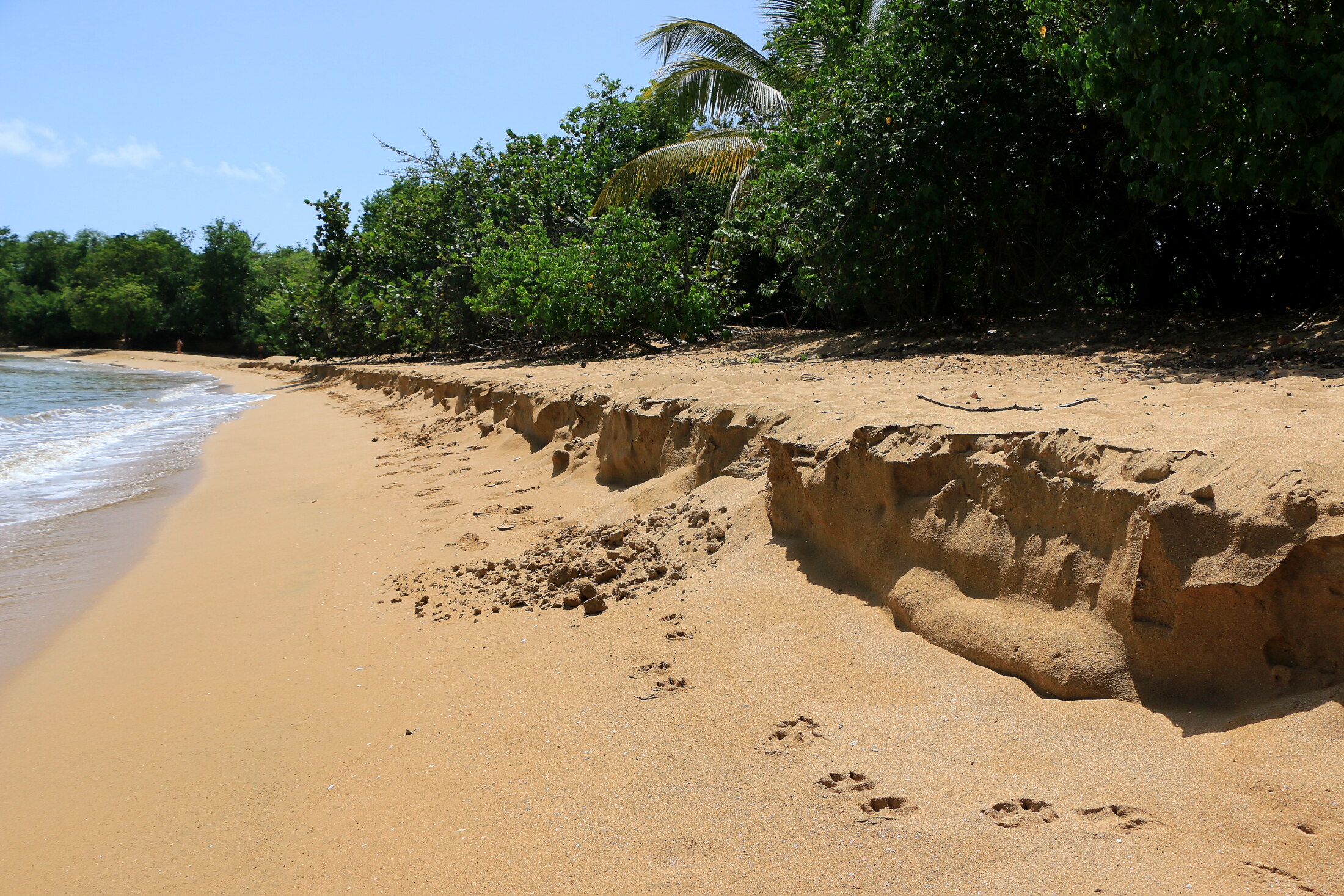
Beach vegetation
State of knowledge
The first step will be to establish a comprehensive state of knowledge on coastal erosion protection techniques using ecosystem services. This synthesis will be based in particular on experiments conducted in the Caribbean, especially in the French territories where the ONF has several years' experience feedback on [...]
Read more
The first step will be to establish a comprehensive state of knowledge on coastal erosion protection techniques using ecosystem services. This synthesis will be based in particular on experiments conducted in the Caribbean, especially in the French territories where the ONF has several years' experience feedback on [...]
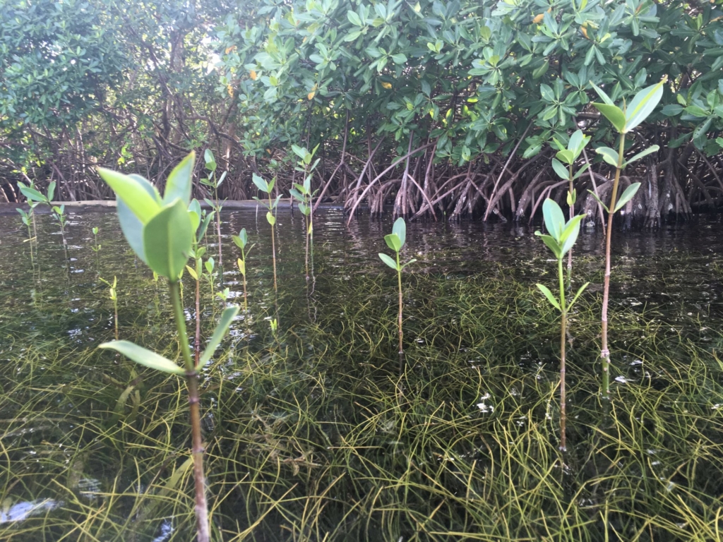
Mangroves
Ecosystem analysis
A regional inventory of mangrove ecosystems will be implemented as a continuation of the work carried out in the framework of the Interreg "Protection and enhancement of coastal wetland ecosystems in the Caribbean" (INTERREG IV Caribbean programme), piloted by the National Forestry Office of Guadeloupe in 2012. The [...]
Read more
A regional inventory of mangrove ecosystems will be implemented as a continuation of the work carried out in the framework of the Interreg "Protection and enhancement of coastal wetland ecosystems in the Caribbean" (INTERREG IV Caribbean programme), piloted by the National Forestry Office of Guadeloupe in 2012. The [...]
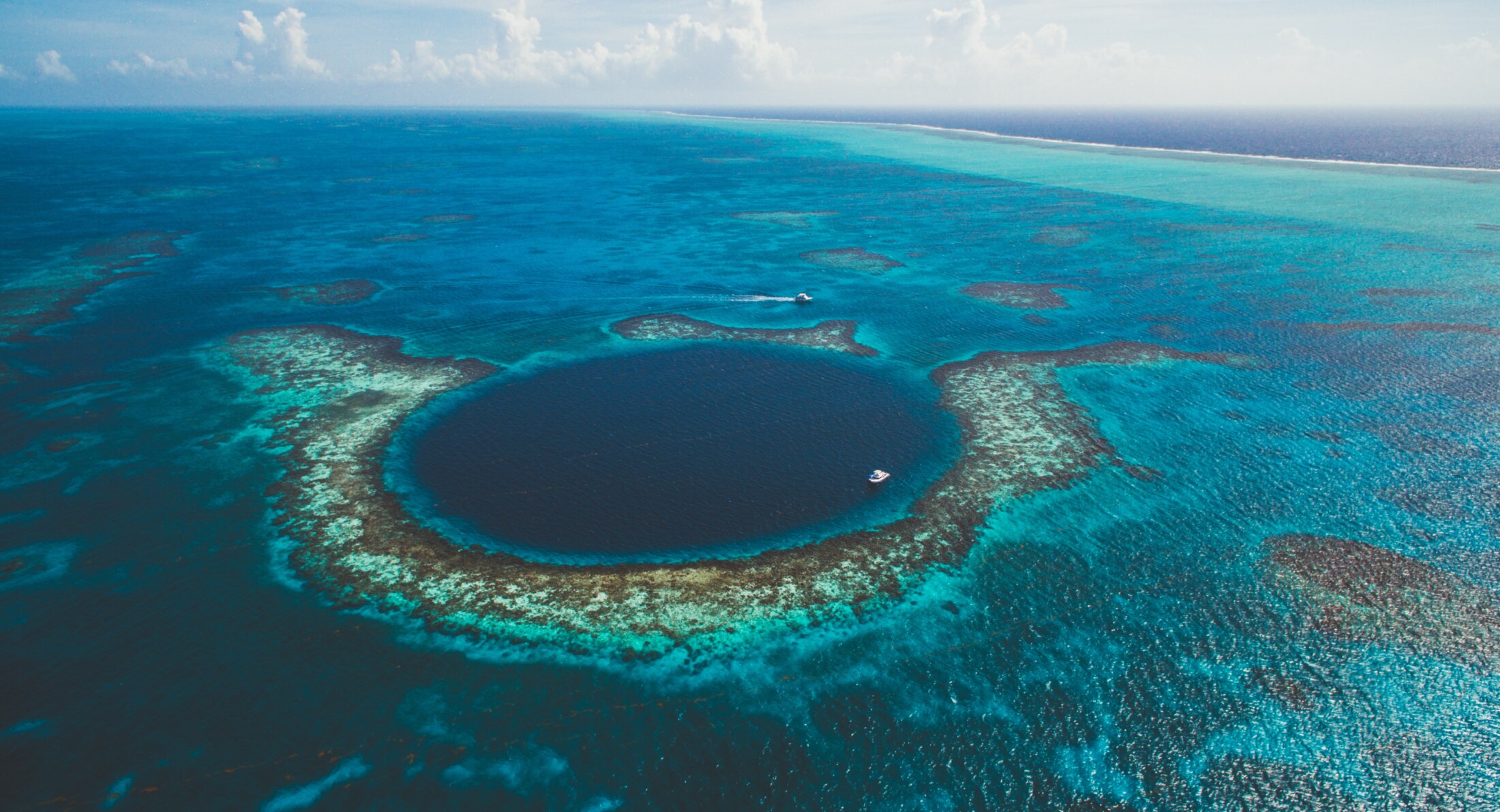
Coral Reefs
Ecosystem analysis
The IRD will carry out an analysis by satellite imagery of the state of coral reef habitats in order to evaluate their evolution over the last few decades and the role they may have played on erosion phenomena. A regional inventory of the state of reefs will lead [...]
Read more
The IRD will carry out an analysis by satellite imagery of the state of coral reef habitats in order to evaluate their evolution over the last few decades and the role they may have played on erosion phenomena. A regional inventory of the state of reefs will lead [...]
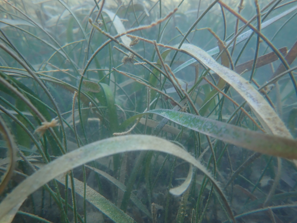
Sea grass
Ecosystem analysis
An analysis by satellite imagery of the state of sea grass will be undertaken by the IRD in order to evaluate the evolutions during the last decades. A regional inventory of the state of sea grass will lead to the drafting of a bibliographical synthesis bringing together the [...]
Read more
An analysis by satellite imagery of the state of sea grass will be undertaken by the IRD in order to evaluate the evolutions during the last decades. A regional inventory of the state of sea grass will lead to the drafting of a bibliographical synthesis bringing together the [...]

