


To pool, co-construct and disseminate approaches to monitoring, coastal risk prevention and adaptation to climate change.
Its ambition is to pool, co-construct and disseminate approaches to monitoring, coastal risk prevention and adaptation to climate change.
Find the cartographic platform of the state of health of the vulnerability of the coast in the Caribbean states
Access to the cartographic platform
Access to the Hydrodynamic platform
28 December 2022
28 December 2022
7 May 2021
30 June 2023
Exposed to extreme cyclonic events and gradual sea-level rise associated with climate change, Caribbean coastlines are subject to hazards such as coastal erosion and marine submersion.
La Richer, Martinique
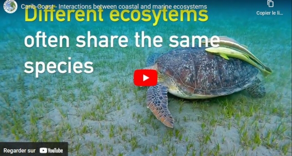
The associated risks concern above all the safety of property and populations, but also the tourism economy linked to the maintenance of beaches and the natural heritage of these interface environments, rich in biodiversity (mangroves, coral reefs, sea grass).
Pointe Marin – Martinique
The CARIB-COAST project benefits from an international partnership including community partners: BRGM, IFREMER, ONF, IRD, CAR-SPAW and CNRS and extra-community partners: UWI, IMA, Ministry of Labour and Transport in Trinidad & Tobago, CARICOOS in Puerto-Rico, MonaGIS in Jamaica and the ACS.


Implementation of a hydrodynamics modelling platform, based on a Caribbean measurement network, for the simulation of current and future hazards.
Development of a Caribbean Coastal Erosion Monitoring and Mitigation Network using natural ecosystems
Development of tools for decision support, exchange, training and awareness-raising among Caribbean actors.

